Skip to content
Megatronix Vision

See more.
Measure better.
Decide smarter.

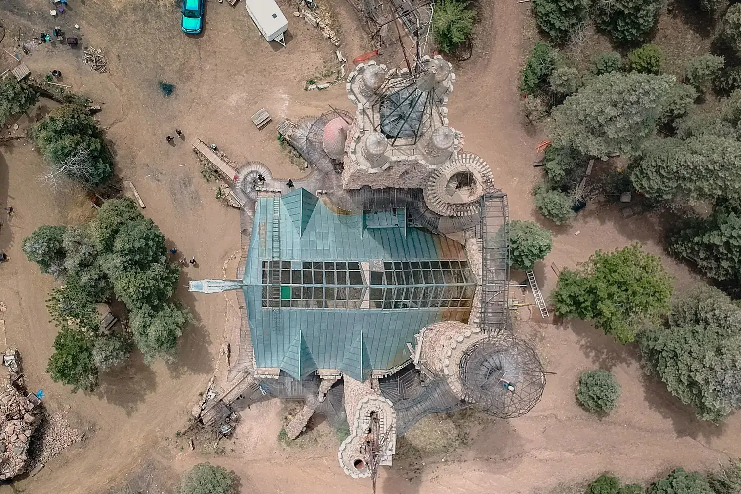
Megatronix Vision is a drone company based in Ahmedabad. We survey land, map sites in 3D and inspect assets from the air for construction, infrastructure, energy, industry and government teams across India.

  • Orthomosaic maps
  • Terrain models
  • Contour maps
  • LiDAR point clouds
  • 3D models
  • Volume reports
  • Inspection reports

A drone company built on 25 years of measurement.

Our group companies have supplied surveying and measuring instruments in India for over 25 years. Megatronix Vision brings that discipline to the air: we fly drones to collect geospatial data, then turn it into maps, models and reports that engineers, planners and owners can act on.

You can hire us to deliver the data, or buy the equipment and have us train your team. Either way the aim is the same: make your work faster, safer and more accurate.

We work from our office in Ahmedabad and take up projects across India, with the shortest mobilisation for drone services in Ahmedabad and drone survey across Gujarat.

About Megatronix Vision

Drone services, from first survey to final report.

All services

Technology and capabilities.

The sensor and method are chosen for the question you need answered. These are the tools we draw on.

High-resolution aerial imaging
Sharp, overlapping imagery captured on planned flight lines for mapping, inspection and documentation.
Photogrammetry
Hundreds of overlapping photos processed into one measurable map and surface model.
LiDAR
Laser scanning that records true ground level beneath vegetation and captures thin features such as wires.
GIS mapping
Aerial data structured into layers and attributes that open in QGIS, ArcGIS and CAD.
3D modelling
Textured meshes and point clouds of sites and structures for design, measurement and review.
Thermal imaging
Heat signatures for solar and industrial inspection, deployed where the project requires it.
Survey-grade positioning
Ground control and check points tie every dataset to real-world coordinates and verify its accuracy.
Data processing and reporting
In-house processing, quality checks and reports written for the people who will act on them.

How our technology works

Why teams choose Megatronix Vision.

25+

years of group experience in surveying and measuring instruments in India

  • Survey heritage

    Our group companies have supplied surveying and measuring instruments in India for over 25 years. We came to drones from measurement, and it shows in our data.

  • Safety first

    Trained pilots, pre-flight risk checks and operations planned within DGCA regulations.

  • Outputs you can use

    Deliverables in your formats and coordinate system, ready for your CAD, GIS or reporting workflow.

  • One team, end to end

    Planning, flying, processing and reporting handled by one accountable team.

  • Right tool for the job

    We match platform and sensor to the requirement and say so when a simpler method will do.

  • Service or ownership

    Hire us to deliver the data, or buy the equipment and let us train your team.

Every project answers a business question.

See typical engagements

Land development

Topographic survey for a township layout

Challenge
A developer needs levels and boundaries for a large parcel before layout design, and a ground survey would take weeks.
Drone solution
Photogrammetry flight with ground control points across the parcel.
Data and output
Orthomosaic, contour map and terrain model in CAD format.
Business value
Design starts sooner, on a base map that shows every existing feature.

How a project runs.

  1. 01

    Understand

    We learn what you need to decide, measure or prove, and which outputs will get you there.

  2. 02

    Plan

    We design the mission: platform, sensor, flight plan, ground control and the permissions the site requires.

  3. 03

    Capture

    Our pilots fly the site and check data quality before leaving the field.

  4. 04

    Process

    Raw data becomes maps, models, measurements and findings, checked against control.

  5. 05

    Deliver

    You receive reports and files in the formats your team uses, with a walkthrough of the results.

Compliance and credentials.

  • Trained pilots who follow safety guidelines and DGCA regulations.
  • Flights planned within the permissions each location and operation requires.
  • Group experience of over 25 years in surveying and measuring instruments.
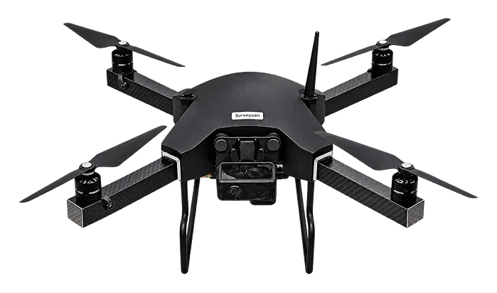
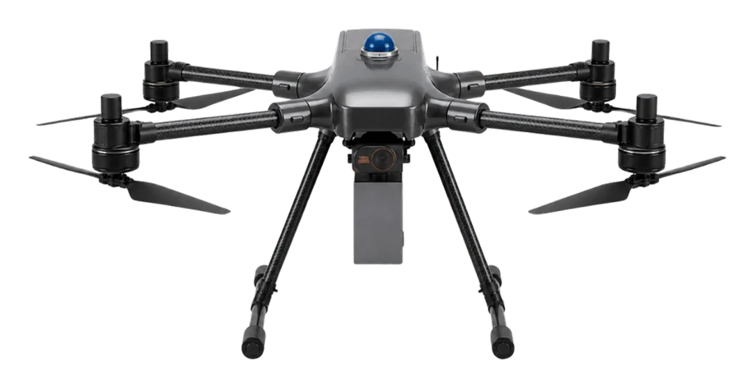
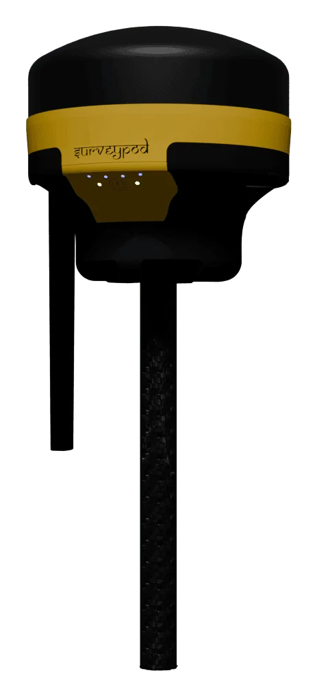
  • Surveyaan survey drones and SurveyPod GNSS receivers, supplied with training and support.
  • Megatronix Vision LLP, registered in Ahmedabad, Gujarat.

Questions we hear often.

All questions
What drone services does Megatronix Vision provide?

Drone survey and mapping, GIS and land mapping, LiDAR survey and 3D mapping, construction progress monitoring, industrial and solar inspection, aerial surveillance, drone training, and drone equipment supply.

Do you provide drone surveying services?

Yes. We carry out topographic, boundary, corridor and volume surveys by drone and deliver orthomosaics, terrain models, contours and CAD/GIS files.

Do you provide LiDAR mapping?

Yes. We offer drone LiDAR surveys for vegetated terrain, corridors and complex sites, delivering classified point clouds and terrain models.

Can drones be used for construction monitoring?

Yes. Scheduled flights give a dated, measurable record of the site that can be compared with the design and with previous visits.

Do you provide industrial drone inspections?

Yes. We inspect chimneys, towers, roofs, tanks, bridges, solar plants and power lines, and deliver imagery with an inspection report.

Which locations do you serve?

We are based in Ahmedabad, Gujarat and take up projects across India. Tell us your site location and we will confirm availability.

Have a project in the air?

Send us the site location and what you need to know about it. We will reply with scope, timeline and a quote.