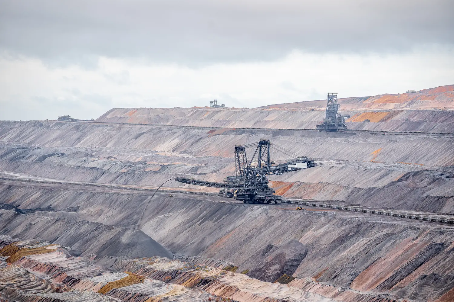
Mining
Measure pits, benches and stockpiles from the air, without putting surveyors near working faces.
- Stockpile and excavation volume reports
- Pit, bench and dump surface models
- Contour maps and cross-sections

Six kinds of work where an aerial survey replaces weeks on the ground. Each one below explains what is measured, what you receive and where it is used.
Measure pits, benches and stockpiles from the air, without putting surveyors near working faces.
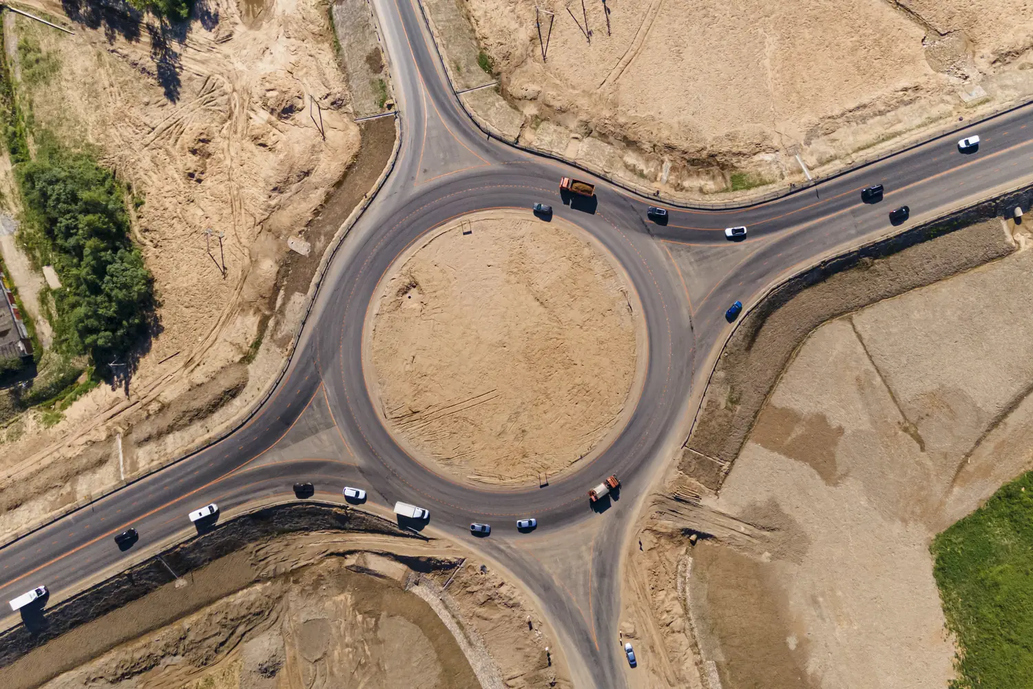
Long, narrow projects surveyed end to end: roads, railways, canals, pipelines and power lines.
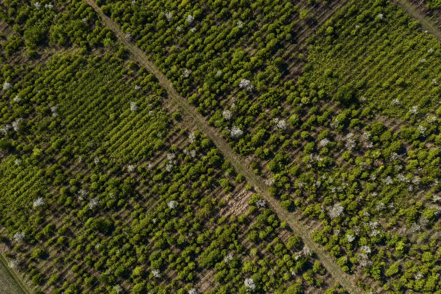
Every plot, row and tree on one map, so problems are found early and inputs go where they are needed.
From the first topographic survey to the final as-built record, with measured progress in between.
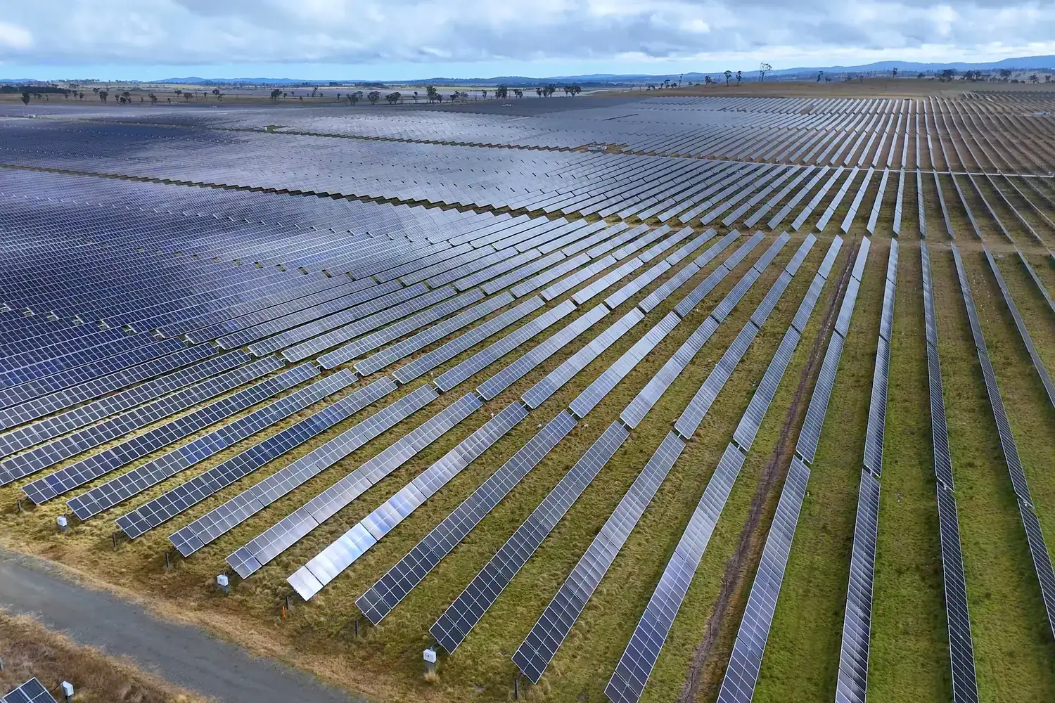
Terrain data to design the plant, and inspection data to keep it performing once it runs.
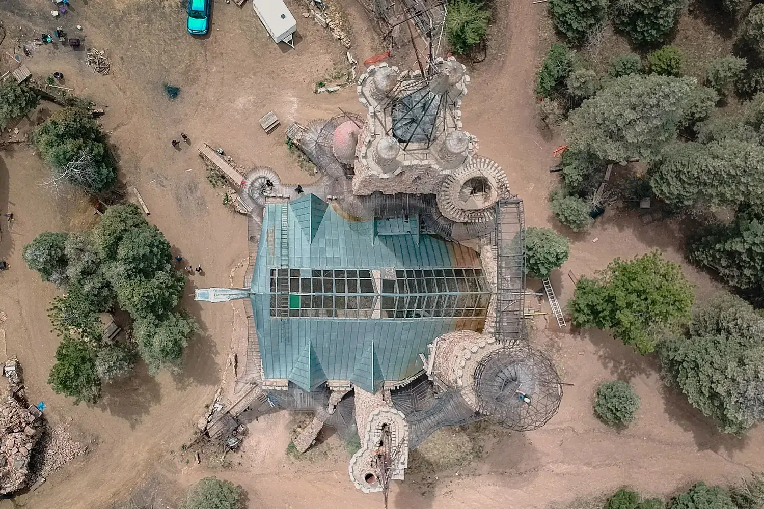
Boundaries, levels and everything standing on the land, captured in one georeferenced dataset.
Send us the site location and what you need to know about it. We will reply with scope, timeline and a quote.