Agriculture mapping by drone
Every plot, row and tree on one map, so problems are found early and inputs go where they are needed.
What the survey gives you
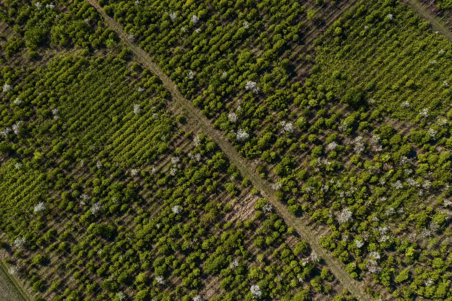
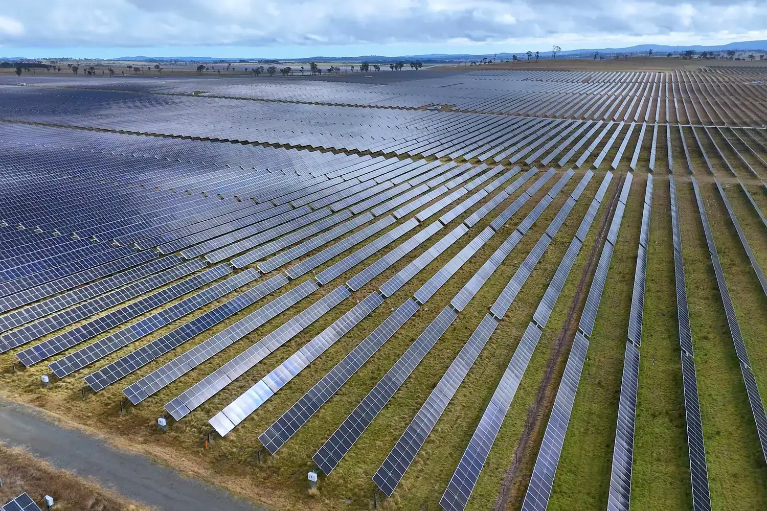
From the edge of a field you see the first few rows. From above you see all of it: gaps in planting, stressed patches, waterlogging, plot boundaries. Drone mapping gives growers, agri-businesses and land managers an accurate, current map of what is actually on the ground.
Why use a drone
Scouting on foot samples a small part of the farm and misses patterns that are obvious from the air. A drone covers the full area in a single flight and produces a map that can be measured, compared season to season and shared with agronomists.
Where it is used
Crop monitoring
Locate weak or stressed areas early and direct scouting, fertiliser or treatment to them.
Orchards and plantations
Count trees, find missing plants and track canopy growth over time.
Land records and area
Accurate plot boundaries and cultivated area for owners, lenders and insurers.
Irrigation planning
Slopes and low spots mapped for channel layout and drainage.
Questions about agriculture mapping
More answers in our drone services FAQ, or see how typical projects run.
What can drone mapping show on a farm?
Plot boundaries and areas, planting gaps, differences in crop vigour, water stress or waterlogging, and the layout of trees, channels and tracks.
Is drone mapping useful for small farms?
It is most cost-effective on larger holdings, plantations and for organisations managing many farms. For small plots we can advise whether it is worth it.
Do you also supply agriculture drones?
Yes. We supply drones for agricultural use and train operators to fly them.
Have a project in the air?
Send us the site location and what you need to know about it. We will reply with scope, timeline and a quote.
- WhatsApp: +91 99091 00410
- Phone: +91 99091 00410
- Email: info@megatronixvision.com