
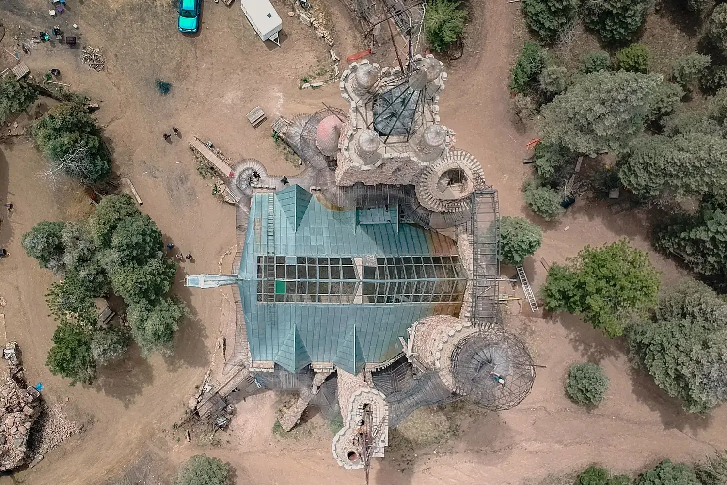
Land survey by drone
Boundaries, levels and everything standing on the land, captured in one georeferenced dataset.
What the survey gives you
Before land is bought, planned or built on, someone needs to know its boundaries, its levels and what already stands on it. A drone land survey answers all three at once, producing a detailed map and terrain model that planners, engineers and owners can work on directly.
Why use a drone
A traditional survey records the points the surveyor chooses to measure. A drone records the whole surface, so buildings, trees, tracks, drains and changes in level all appear on the map, and nothing has to be re-surveyed later because it was missed.
Where it is used
Property and estate surveys
A current map of buildings, access, trees and boundaries for owners and buyers.
Layout and township planning
Levels and existing features as the base for plotting and road design.
Government and revenue mapping
Large-area mapping of villages, towns and public land.
Heritage and campus sites
Detailed records of structures and grounds for conservation and facilities planning.
Questions about general land survey
More answers in our drone services FAQ, or see how typical projects run.
Is a drone land survey as accurate as a ground survey?
With ground control points and proper processing, a drone survey meets the accuracy needed for most planning and design work. We agree the accuracy you need before the survey and report what was achieved.
What do I receive from a land survey?
A georeferenced aerial map, contours, a terrain model and CAD or GIS files showing boundaries and features.
How large an area can be surveyed?
From a single plot to several square kilometres. Large areas are flown in blocks and merged.
Have a project in the air?
Send us the site location and what you need to know about it. We will reply with scope, timeline and a quote.
- WhatsApp: +91 99091 00410
- Phone: +91 99091 00410
- Email: info@megatronixvision.com