
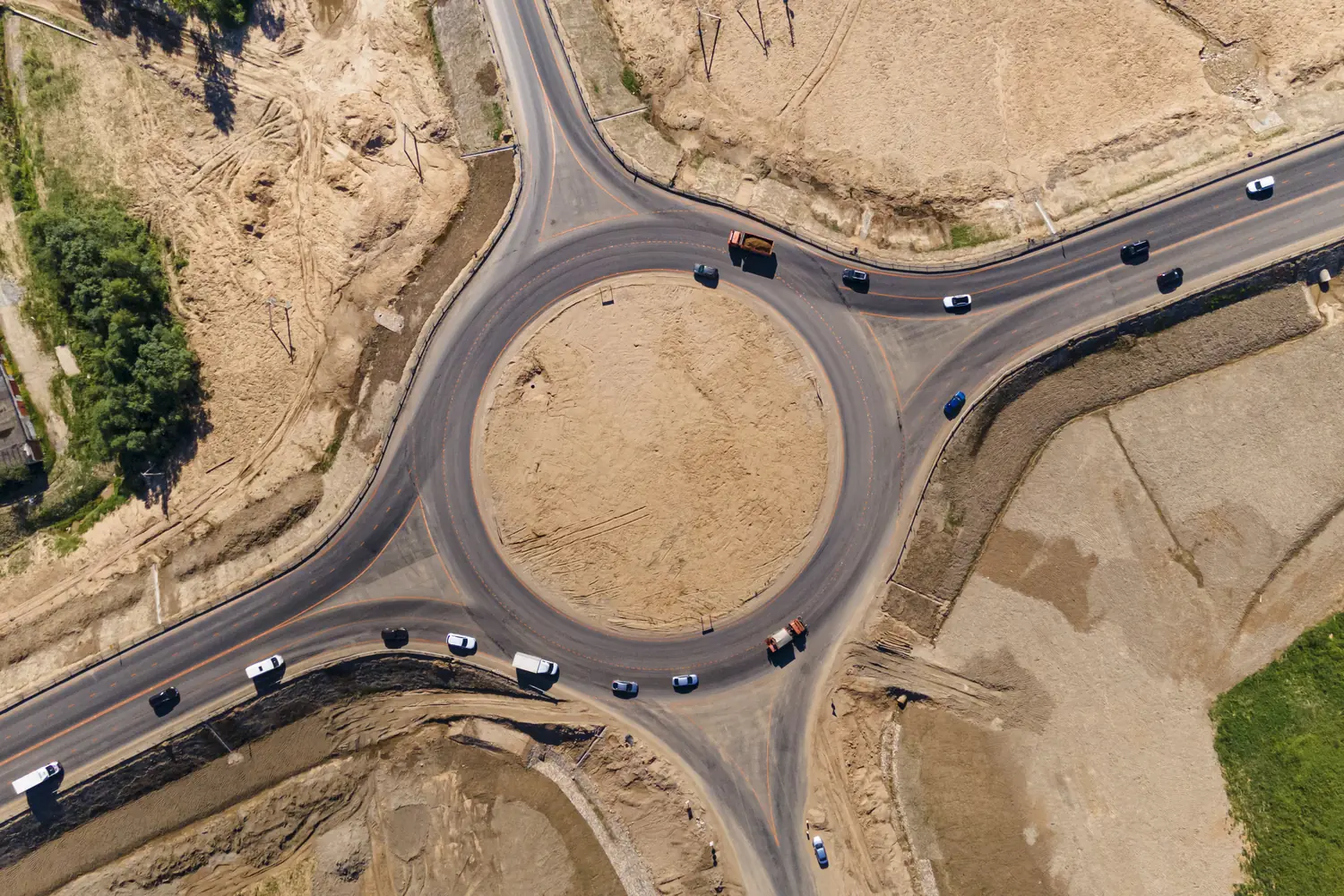
Corridor surveying by drone
Long, narrow projects surveyed end to end: roads, railways, canals, pipelines and power lines.
What the survey gives you
Linear projects run for kilometres across farmland, rivers and settlements. A corridor drone survey follows the alignment and captures a continuous strip of terrain on both sides, giving designers the levels, features and obstructions they need along the entire route.
Why use a drone
Ground crews on a long alignment face access problems, traffic and weeks of fieldwork. A drone flies the route in planned sections, records everything in the right of way, and the sections are joined into one seamless, georeferenced dataset.
Where it is used
Highway and road projects
Feasibility, DPR and widening surveys, plus progress records during construction.
Railways and metro
Alignment studies and as-built records along track, without possession of the line.
Canals and pipelines
Levels and crossings mapped for hydraulic and route design.
Transmission lines
Route surveys and vegetation or encroachment checks along the line.
Questions about corridor surveying
More answers in our drone services FAQ, or see how typical projects run.
What is a corridor drone survey?
It is a survey of a long, narrow strip of land along a road, railway, canal, pipeline or power line, flown by drone and processed into maps, profiles and cross-sections.
How long a corridor can be surveyed?
There is no fixed limit. Long corridors are divided into sections, flown one after another, and merged into a single dataset.
When is LiDAR better for a corridor?
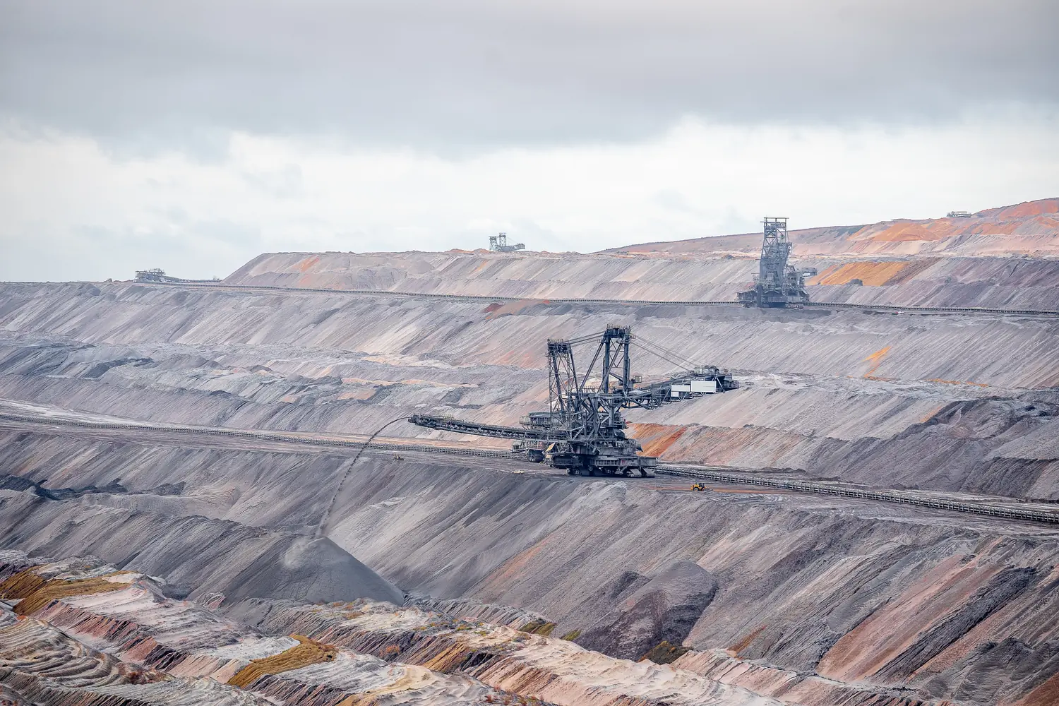
When the route passes through vegetation or you need to capture wires and thin structures. LiDAR records the ground beneath the tree cover, which photographs cannot.
Have a project in the air?
Send us the site location and what you need to know about it. We will reply with scope, timeline and a quote.
- WhatsApp: +91 99091 00410
- Phone: +91 99091 00410
- Email: info@megatronixvision.com